Posted in Bridges, History, War Memorials at 20:30 on 21 December 2020
An old joke has it that Perth is the smallest town in Scotland because it only has two inches. The North and South Inches are of course green spaces used for recreational purposes. They both border the River Tay.
We used to park regularly in the South Inch car park when we visited Perth. Nowadays we tend to use elsewhere.
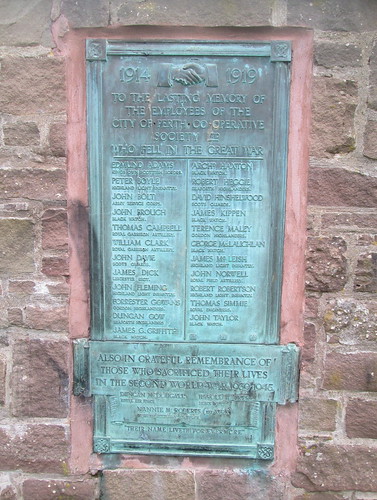
As a result we one day strolled around the south part of the North Inch. A wall separates it from the river and on that wall is a plaque commemorating the men of Perth Co-operative Society who lost their lives in the two World Wars. It is inscribed, “1914 – 1919. To the lasting memory of the employees of the City of Perth Co-operative Society Ltd who fell in the Great War,” plus, “Also in grateful remembrance of those who sacrificed their lives in the Second World War 1939 – 1945,” and, “Their name liveth for evermore.”
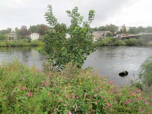
From it there is this view of the river and Perth Bridge:-
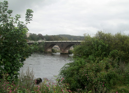
Perth Bridge:-
On the same visit we popped into Perth Museum and Art Gallery. Among many other exhibits they have this old Pictish stone found at St Madoes/Inchyra in the Carse of Gowrie, Perth and Kinross.

No Comments »
Posted in History, Trips at 20:00 on 16 July 2018
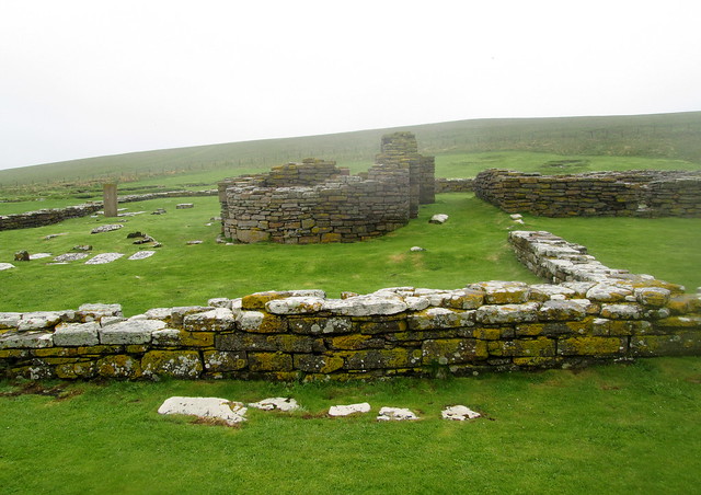
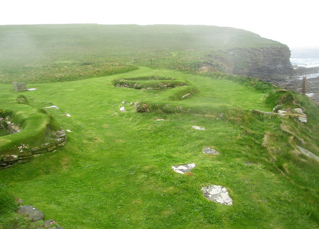
Later Norse Houses with 12th century church in background:-
12th century church. (See Pictish stone to left):-
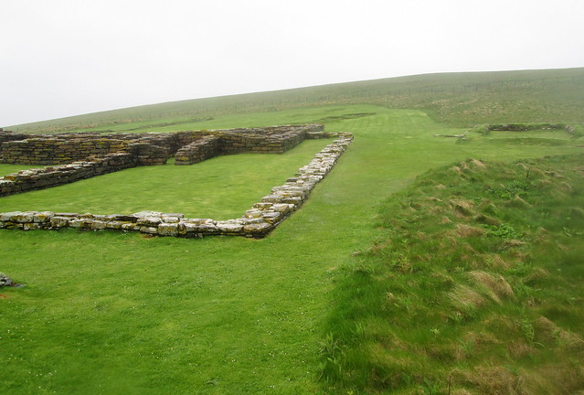
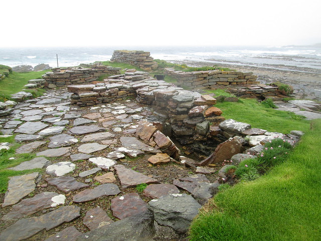
Edge of 12th century church complex:-
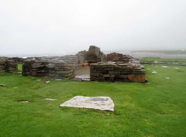
12th century church remains:-
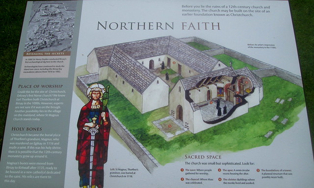
12th century church information board:-
Sunken structure, possibly another Norse house:-
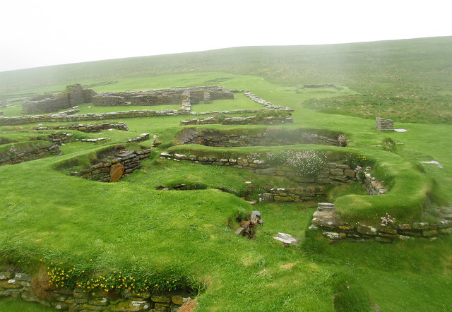
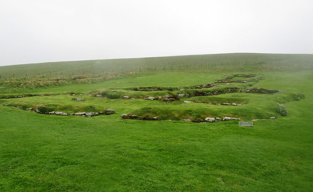
North edge of archæological site, Brough of Birsay:-
1 Comment »
Posted in Seaside Scenes, Trips at 12:00 on 14 July 2018
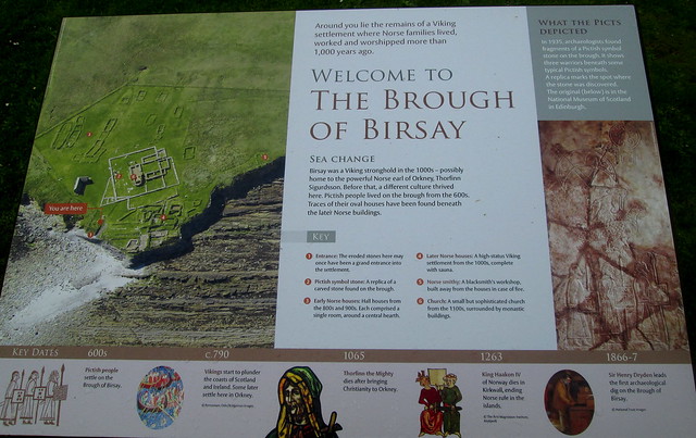
The Brough of Birsay is an island just off the north-east coast of mainland Orkney. I blogged here about the causeway you have to cross to access the island.
It is also home to some archæological remains (as well as a Stevenson lighthouse which we didn’t visit.) The weather was fine when we walked across the causeway to the island but while we were there it started to rain and the wind was so strong the rain was coming in horizontally, so discretion prevailed over perseverance. Even so by the time we got back to the car we were thoroughly drookit.
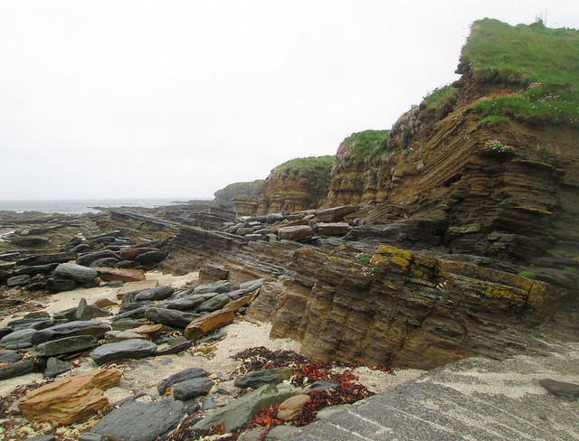
There was some nice geology just where the path from the causeway meets the brough proper.
The archæology on the brough comes from three distinct eras. First there was some Pictish occupancy. However this Pictish symbol stone is a replica, unfortunately. (Though there was such a stone found on the brough.)
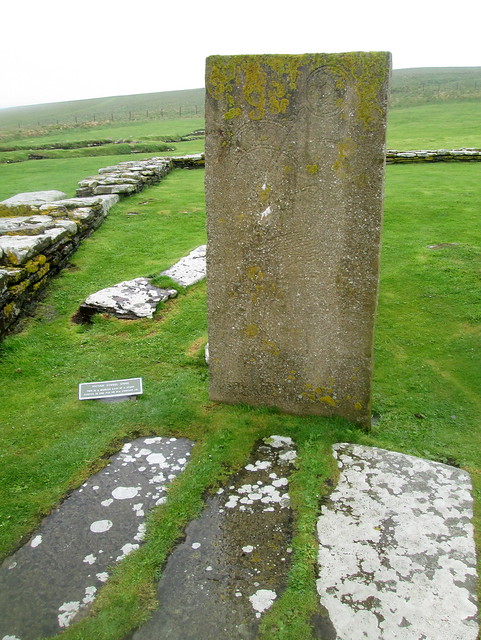
There is a better photograph of the symbol stone on Historic Scotland’s Birsay webpage if you click through the pictures.
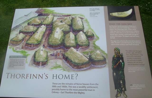
As the information board says there was later Norse – in two phases – and ecclesiastical building on the island.
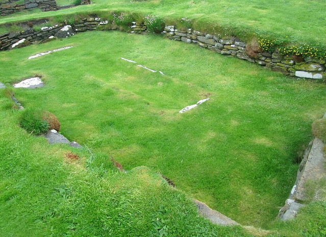
Remains of Norse houses:-
A later Norse house:-
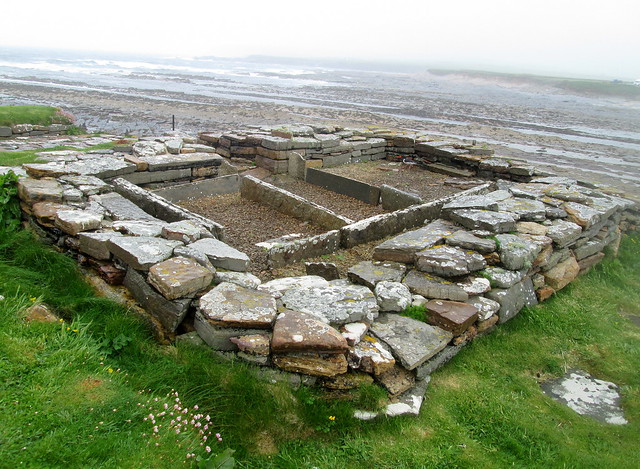
Another later Norse house:-
Birsay may have been the home of Thorfinn the Mighty.
2 Comments »
